 |
| courtesy State Records Office, Western Australia, series 2357, cons 066 |
 |
| courtesy State Records Office, Western Australia, series 2357, cons 066 |
 |
| courtesy State Records Office, Western Australia, series 2357, cons 066 |
Captain Rantzau, master of the Government chartered steamer SS Una, received the following instructions from the Chief Harbour Master, Captain Irvine, as follows:
"COSSACK
CAPTAIN RANTZAU
"UNA"
WRECKAGE FOUND TWENTY FIVE MILES NORTH BY WEST BEDOUT PROCEED AT ONCE TO THAT ISLAND SEE IF ANY WRECKAGE ABOUT REEF THEN PROCEED TO SPOT WHERE WRECKAGE DISCOVERED AND AFTER SEARCHING VICINITY FOR ONE DAY PUT IN TO HEDLAND REPORT FOR FURTHER INSTRUCTIONS THE BULLARRA IS SEARCHING EAST OF TURTLE ISLANDS SHOULD YOU SIGHT HER SIGNAL MASTER RETURN COSSACK AT ONCE FOR ORDERS.
3rd April, 1912"
Contrary to the projected time frame, taking up to 6 weeks, Captain Rantzau was offered very little time flexibility in this prescriptive telegram.
Rantzau was steaming into the unknown. How could Captain Irvine have anticipated a one day search? Perhaps the very mention of the words 'wreckage discovered' were enough confirmation of the worst fears and no further action required?
These instructions were at odds with the fact that the bulk of wreckage discoveries were yet to be made, reported and in so doing, establish a clearer pattern of what had happened to Koombana, but more importantly, where.
Costs were a further driving force behind the instructions, but it does seem preemptive and not in keeping with the initial proposal of a six week search.
 |
| courtesy State Records Office, Western Australia, series 2357, cons 066 |
The following is Captain Rantzau's report after conducting search as per instructions:
"Fremantle 16th April, 1912
The Chief Harbor Master,
Fremantle.
Dear Sir,
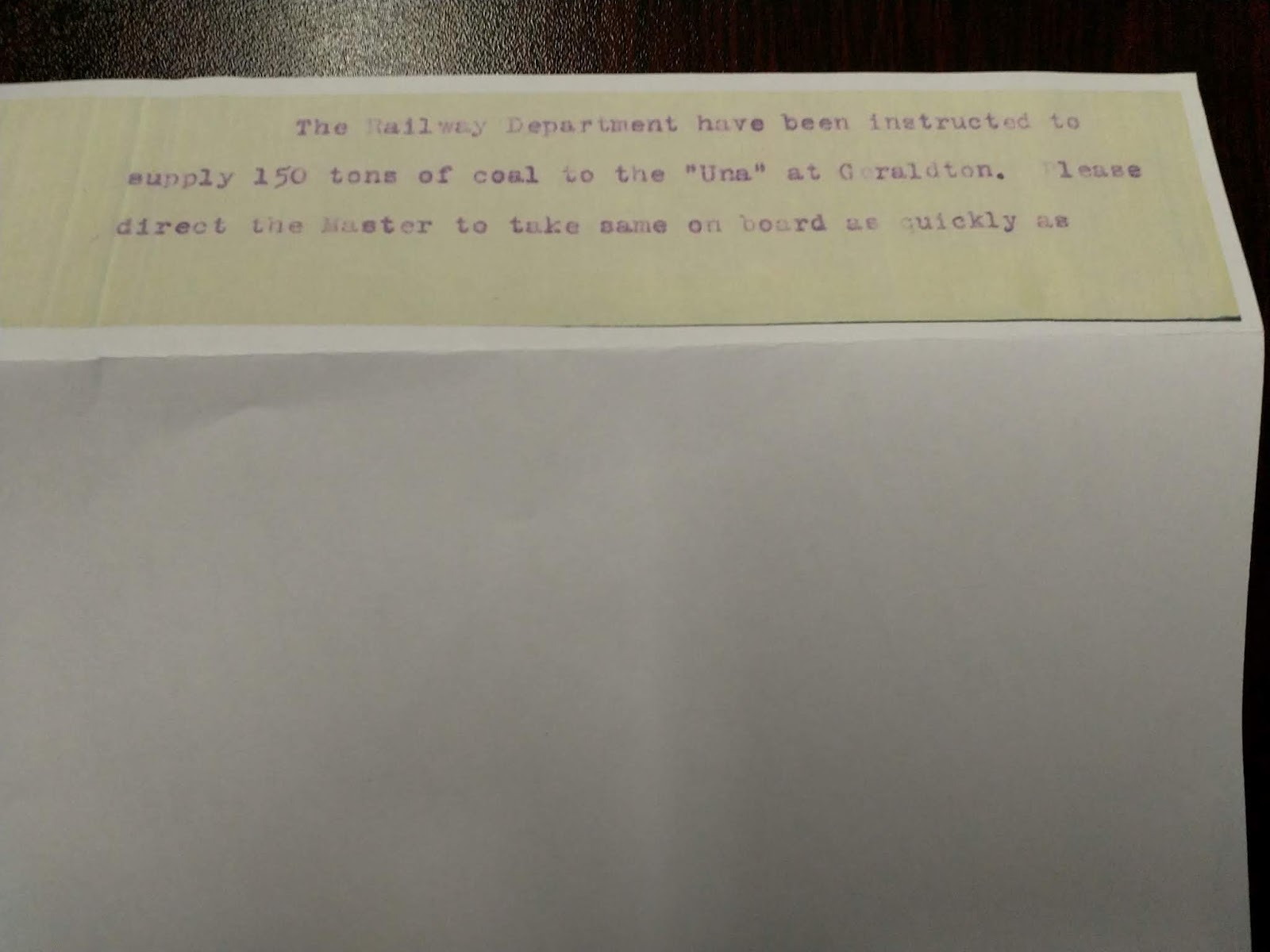
On my arrival at Carnarvon I was instructed by my Owners, Messrs R.J. LYNN LTD, to proceed to Geraldton and on arrival at Geraldton at 6 p.m. on 28th March I received instructions from Harbor Master to bunker coal ex "Ashbridge". After taking on board 125 tons I proceeded in accordance with your wire to Cossack Roads and arrived off Point Sampson at 9.15 p.m. on April 2nd. I then wired you on the morning of 3rd inst and received your wire that wreckage had been found N. by W. 25 miles off Bedout Island. I proceeded direct to Bedout and made a complete search of the Island and the Reefs at low water but failed to find any wreckage. On the 4th inst 7.45 a.m. spoke "Bullarra" off Bedout Island and in accordance with your instructions directed him to proceed direct to Cossack. Friday April 5th proceeded from Bedout steering N.by W and at a distance of about 28 mls picked up a quantity of wreckage. At dinner time Ship stopped in a position 19.7 S. and Longitude 118.53 E. The wreckage at this place seemed to come from the bottom as within the course of fifteen minutes no wreckage would be visible and then it would be seen floating, indicating to me that the ship was lost at about this point. I would also like to state at this particular place there were a large number of sharks to be seen. Being satisfied that nothing further could be done I proceeded to Port Hedland arriving there at 1.30 a.m. on 6th April. Wired you accordingly and on receipt of your telegram left Port Hedland Sunday 7th April 11.30 a.m. for Fremantle direct arriving here Saturday 13th April at 8.30 a.m.
Having a large quantity of coal to discharge I received instructions to bunker the SS "Penguin" and expect to complete this work today 16th April.
Rantzau
Yours faithfully,
The Una wreckage discovery allegedly rising from the sea bottom surrounded by many sharks was as convincing as it could get in favour of this being the site of the Koombana wreck. But if one takes a closer look at the detail a strange picture emerges.
Referring to the image below, there are 3 wreckage positions marked, 1; 2 and 3.
1. 25 miles N by W of Bedout
2 28 miles N by W of Bedout
3 19 7 S, 118 53 E 31 miles bearing 336 degrees from Bedout
The first point to note is that wreckage sites marked 1 and 2 were never included in the overall wreckage discoveries made and if one plots them onto a more complete record of wreckage they enhance rather than detract from the pattern of distribution with the prevailing east to west current; Upjohn's coordinates as the starting point.
The second, important, point to be made refers to the Una setting out on a course N by W, and after discovering wreckage 28 miles from Bedout Island, instead of continuing his course to search for more wreckage in this general direction, he alters his course radically from one bearing 315 degrees from Bedout to 42.5 degrees and after 11.5 miles and +/- 2 hours, presumably by this time noon, he discovers the 'wreckage' which changed everything!
Very very strange.
Note that Rantzau had had an exchange with Upjohn (Bullarra) before he left the vicinity of Bedout, which implies that he knew about the 'oil patch' discovery = shipwreck. He does not mention the details of this discussion in his telegram. If one were to go for a conspiracy theory one could suggest that the significant Una find, wreckage 3, was an intentional attempt to distract from the real scene of the disaster. After all the site marked wreckage 3 was NOT dragged to confirm the presence of a wreck, which would have been the next, logical course of action and Captain Upjohn's discovery pointed to an accident site beyond the reaches of the cyclone and well within the steamer track for Broome.
 |
| courtesy Google Earth |
 |
| courtesy Google Earth |
 |
| courtesy State Records Office, Western Australia, series 2357, cons 066 |
 |
| courtesy State Records Office, Western Australia, series 2357, cons 066 |
Wharfinger Gordon sent the bombshell news to the Chief Harbour Master, Irvine as follows:
"Port Hedland.
Chief Harbormaster.
Captain Rantzau Una arrived reports no wreckage Bedout reef picked up mast & life boat gear several cabin panels thirty three miles N N W Bedout wreckage appears be rising from below waiting instructions from you taking water before proceeding further
Gordon Wharfinger.
8.40"
 |
| courtesy State Records Office, Western Australia, series 2357, cons 066 |
Which met with this intriguing, almost panic-stricken response:
"Captain Rantzau, Una, Port Hedland.
Please return direct Fremantle quickly as possible.
H.M.
7/4/12"
After making what was to become the most important wreckage discovery allegedly indicating the location of the Koombana, Una was instructed to leave the scene of the disaster forthwith!!
All a bit dramatic if one considers that the next step would have been to return to the site in question and PROVE that Koombana lay there, by dragging a wire over the area from where wreckage was supposedly rising.
Who was 'H.M' ?
 |
| courtesy State Records Office, Western Australia, series 2357, cons 066 |
The Pilbarra Goldfield News, 11 April, 1912.
He (Captain Rantzau of the Una) considers
that he has practically located the spot where
the Koombana. foundered, which is about
26 miles from Bedout Island, in 40 fathoms
of water. Nothing definite could be ascertained,
as the water was very much discolored - Ed J
In this report we are thrown curved balls in terms of distance from Bedout Island and depth at that location. 26 miles falls short of the official coordinates position reported and I have plotted some positions, 26 miles from Bedout, which match a depth of 40 fathoms; 73 m; 240 ft.. The variability is significant. Furthermore, the water was sediment laden post cyclone giving if a 'pea soup' appearance, which in turn would have made it difficult for Captain Rantzau to accurately comment on whether the wreckage discovered was 'coming up from the bottom' or merely drifting, submerged a few feet.
Given the current trend (south)westward it still stands to reason that the origin of the flotsam (wreck) was to the northeast of Bedout Island.
courtesy Google Earth and Trove
HM = Harbour Master
ReplyDelete